

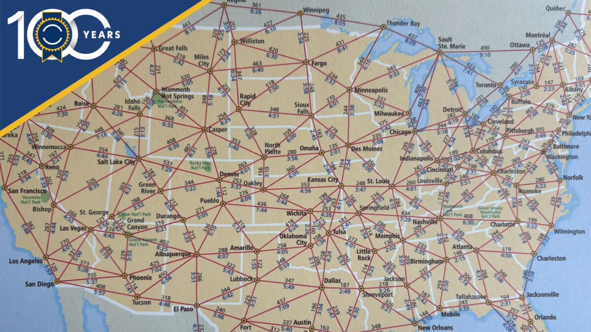
In 1926, when Les Kelley published his first Kelley Blue Book, if you wanted to travel by car, you had to trust your sense of direction.
Early Maps
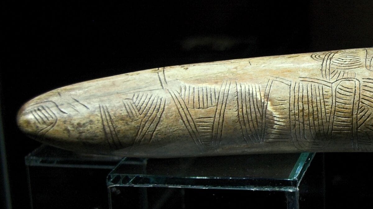
25,000 BCE: Not all archaeologists agree, but I like the idea that the Pavlov Map is the earliest map created by a human. It consists of lines carved on a woolly mammoth tusk that appear to provide information about the landscape around the site where it was discovered in the Czech Republic.
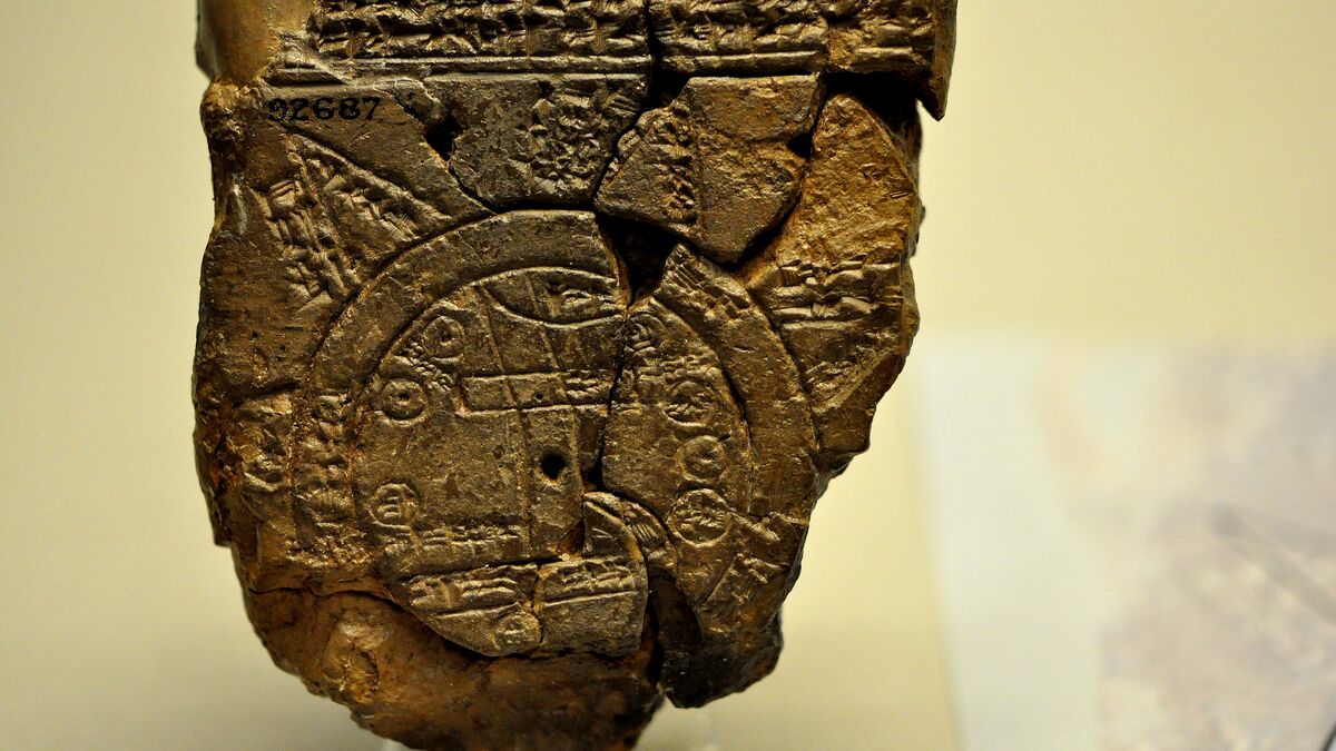
600 BCE: The Mesopotamians were remarkably advanced. Archaeologists have discovered the Babylonian World Map in what is now Iraq. This etched clay tablet is thought to be the first cosmographic map, with north at the top and depicting the sun moving across the sky.
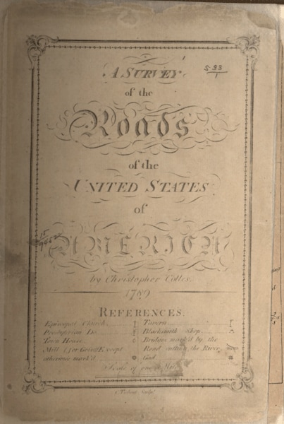
1789-1792: Christopher Colles was an engineer and surveyor. Beginning in 1789, he set out to create the first road atlas of the United States. He started in Albany, New York, and by 1792, he had mapped the major routes to Williamsburg, Virginia, 1,000 miles away. He published “A Survey of the Roads of the United States of America,” pioneering the road atlas for the new country. Colles privately published the atlas, comprising 83 maps.
Maps for Automobiles
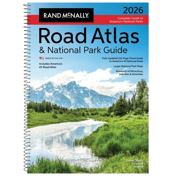
1904: Andrew McNally and William Rand formed their partnership in a printing company in 1868, taking over the Chicago Tribune’s printing office as Rand, McNally & Co. The company found a niche in printing railroad guides and expanded into maps, globes, and geography textbooks. In 1904, Rand McNally published its first road map for automobile drivers, “New Automobile Road Map of New York City & Vicinity.” This debut led to a continuing series of road atlases and regional road maps that gas stations across the country sold to locals and tourists. The marriage of gas stations and road maps was natural and blossomed through the 20th century.
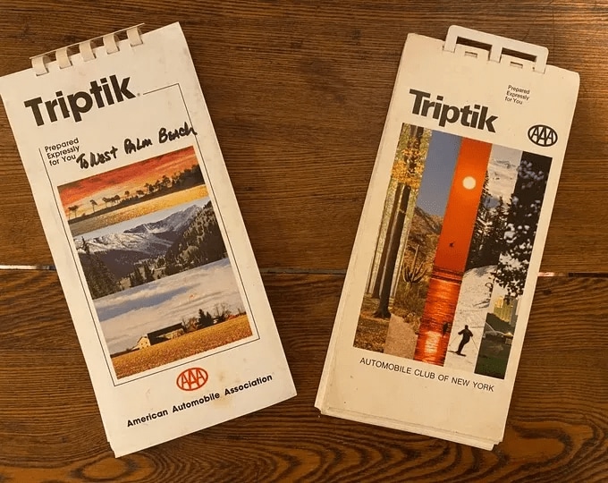
1906: The Automobile Association of America opened its first headquarters in New York City in 1902. In 1906, the AAA published its first street map, a hand-drawn work of art in ink on linen, depicting the streets of Staten Island. By 1932, AAA had developed its trademarked TripTik routing maps — detailed, customized sequential flip map books custom-assembled for AAA members. To this day, many travelers begin their vacations with a consultation with a AAA map specialist and follow their TripTik routes page by page.
Mechanical Navigators
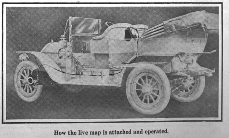
1909: J.W. Jones invented a mechanical navigator in 1909. This innovative device, which he named “Jones Live Map,” was mounted in your car and tracked your location with a connection to the odometer. You calibrated your starting position and inserted a paper map disk. As the car traveled, the disk rotated to provide an approximate position. The device was remarkable for its time, but it couldn’t keep up with the rapid development of roads and infrastructure in the U.S., where paper maps proved more helpful.
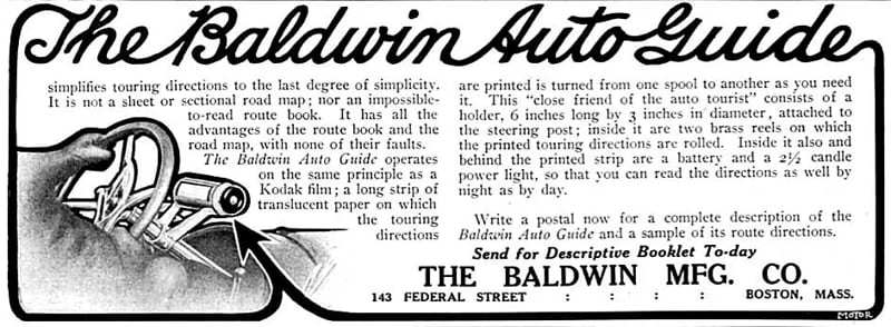
1909: The Baldwin Auto Guide copied the concept of a roll of film, using canisters of rolled maps in a display tube mounted on the car’s dash. The driver rolled the winder on the side of the tube, advancing the long strip map as the drive progressed, revealing new small windows of cartography. It was very compact and convenient, and eliminated the cumbersome act of folding and unfolding a big paper map – an act so awkward it became a silent movie trope.
Radio Beacons and Gyroscopes
1957: The Soviet Union launched the Sputnik 1 satellite on Oct. 4, 1957, at 7:28 p.m., and the world has never been the same. Not only did this launch set off the space race that led to the moon landing in 1969, but it also inspired U.S. engineers to consider the Doppler effect in calculating locations on Earth.
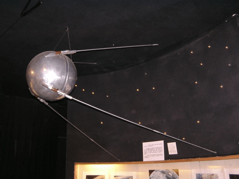
You’ve heard the Doppler effect with your own ears – the way a car’s sound changes as it drives past you at speed. When you make a racecar noise, you’re imitating the Doppler effect. By applying complex math to the sound of a passing satellite, engineers calculated its position. Don’t ask me how. I’m not an engineer.
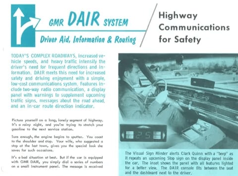
1966: General Motors revealed the Driver Aid, Information & Routing (DAIR) system in 1966. A GM press release of the day described the navigation function of this system. “For the route minder, the driver uses a special card punched for his destination. The card fits a slot in the console. Signals from magnets buried in the road at each major intersection activate the routing equipment, which compares the signals with the punched instructions on the card. Panel lights will tell the driver whether to turn left, turn right, or go straight through. With all major intersections coded, it would be possible to travel across the U.S. by the system’s direction.” This ambitious bit of engineering never got past the prototype and testing phase, but it modeled many of the functions we take for granted in today’s navigation systems.
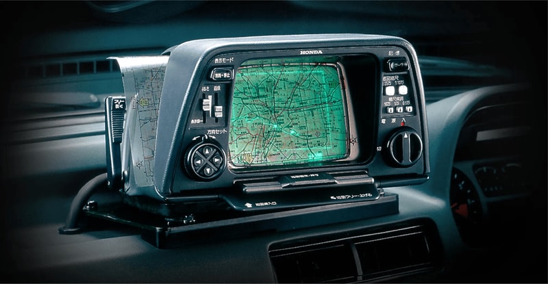
1981: The Electro Gyrocator was the first commercially offered in-vehicle navigation system, only available on the Honda Accord in Japan for one model year. The system used a helium-gas gyroscope to detect rotation and acceleration. It then used that data to calculate location – no satellite connection was involved. Again, I’m just reporting here. I don’t know how it worked.
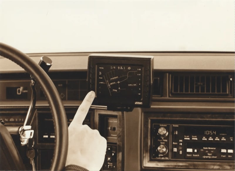
1983: A pair of former Atari engineers, Nolan Bushnell and Stan Honey, brought out Etak Navigator. It used sensors and a compass to pinpoint the car’s location and added vectorized maps to let the driver see the car’s location and direction of travel. The Etak used cassette tapes to store the maps. Owners could buy a cassette that covered their local area.
The Car Makers Jump on the GPS Train
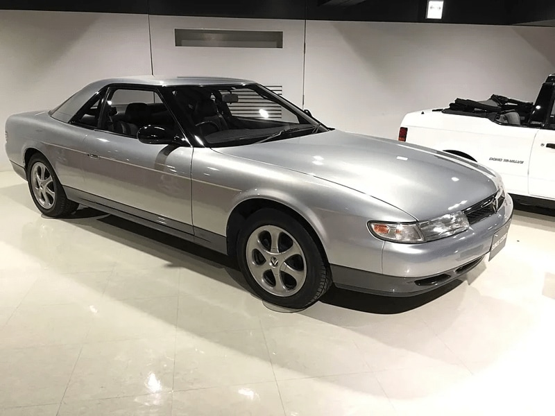
1990: Mazda built a GPS navigation unit into the 1990 Eunos Cosmos for the Japanese market, representing the first factory GPS navigation system. The Cosmos kicked off a new generation of navigation for all.
1992: The U.S. got access to car GPS in a fleet of 100 Avis rental cars in Florida in 1992. The TravTek Oldsmobile Toronado coupes operated in five Florida counties and were available for $139 per week or $29 per day, with unlimited mileage. The system used a combination of GPS and dead-reckoning compasses, since GPS wasn’t yet accurate enough for reliable on-road navigation. The Toronado also came with a car phone, so drivers could call for help if the navigation failed.
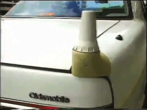
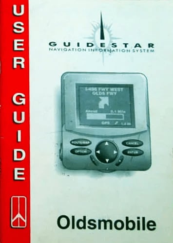
1995: The Olds Eighty-Eight became the first car to offer built-in GPS for the U.S. market in 1995 with a system called “Guidestar.” This hard-disk-based system used a small removable head unit mounted in the center console, with the brains located in the trunk. Like the TravTek, it used GPS and dead-reckoning, since commercial GPS was only accurate to 100 feet at the time. Oldsmobile soon made Guidestar available in its LSS and Bravada models and showed off prototypes in the Aurora.
GPS for the Masses
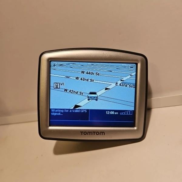
2000: The U.S. government removed GPS restrictions in 2000, allowing consumers and commercial users access to near-military-grade location accuracy. This action resulted in a vast improvement for in-car GPS and an explosion of hand-held units from companies like Garmin and TomTom.
2014: Apple unveiled CarPlay (originally called “iOS in the Car”) on March 3, 2014, at the Geneva International Auto Show, and in-car navigation was never the same again. The iPhone became Apple’s best-selling product, thanks in part to this new ability to project the device’s capabilities onto a properly equipped in-car display via a wired USB connection. The first production car to feature CarPlay was the Ferrari FF, which debuted in September 2014. Android Auto, Google’s smartphone projection technology, came out on March 19, 2015, and first appeared in the 2015 Hyundai Sonata.
Where We Are Headed
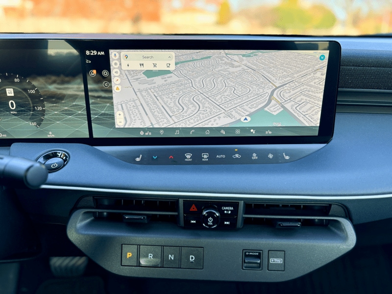
The Future: Who knows what the future holds? Is cartography a lost art? Will hipsters decide that paper maps are cooler than GPS, just like they’ve moved back to vinyl over streaming audio? I know that my sense of direction has eroded since I became GPS-dependent. I force myself to try to navigate without aids these days, especially near home.
What do you think? Has the move from maps to GPS been a benefit or a loss to car drivers?